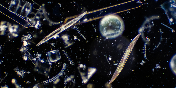
Remote sensing and big data handling
Remote sensing techniques (satellites, drones/UAVs, and cameras and radiospectrometers installed in the field or on shipborne platforms) provide enormous data sets. These data sets are processed using dedicated work flows into accessable information such as maps and time-series (ranging from Digital Elevation Models, water quality maps, saltmarsh vegetation information, sea level time-series, and zooplankton scans). We use supercomputers, for instance to mosaic images, and use cloud computing for big data handling. We combine spatial information in Geographic Information Systems for spatial analyses.