NWO ENW Groot award for a HIgh-Resolution approach for ice Shelf instability (HiRISE)
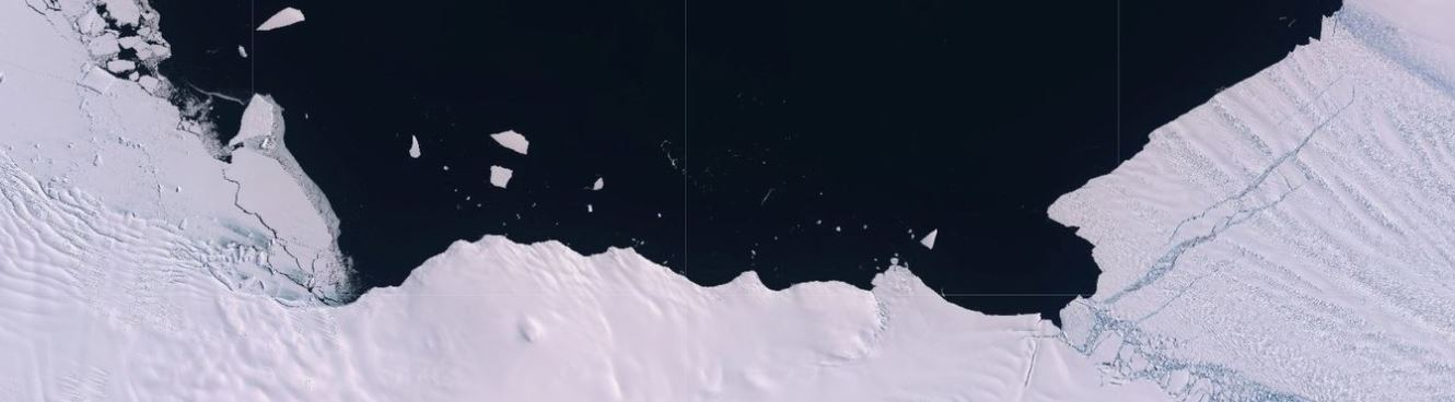
HiRISE will build on the recent availability of frequent, high-resolution, multi-source satellite imagery across all Antarctic ice shelves and in-situ data from a supersite on Larsen-C ice shelf to assess ice shelf weakening. These remote sensing indicators will be combined with high-resolution atmospheric, firn, ocean and ice shelf models to simulate the changing conditions that affect ice shelf stability. The results of the different models and remote sensing indicators will be merged to provide projections of Antarctic ice shelf instability in a future changing climate. These projections will be used to project regional sea-level changes along the Dutch coast and the impacts on sea-level extremes. In this part of the research NIOZ researcher Aimee Slangen is involved.
She explains: "First, we will construct high-resolution sea-level change scenarios along the Dutch coast, based on the projected changes in Antarctica, to examine the impact of different timing and location of Antarctic mass loss on sea-level change. Second, we will address the impact of the projected sea-level changes on sea-level extremes (tides, surges and waves) by looking at sea-level allowances, as this is what affects society most directly".
 Aimée Slangen