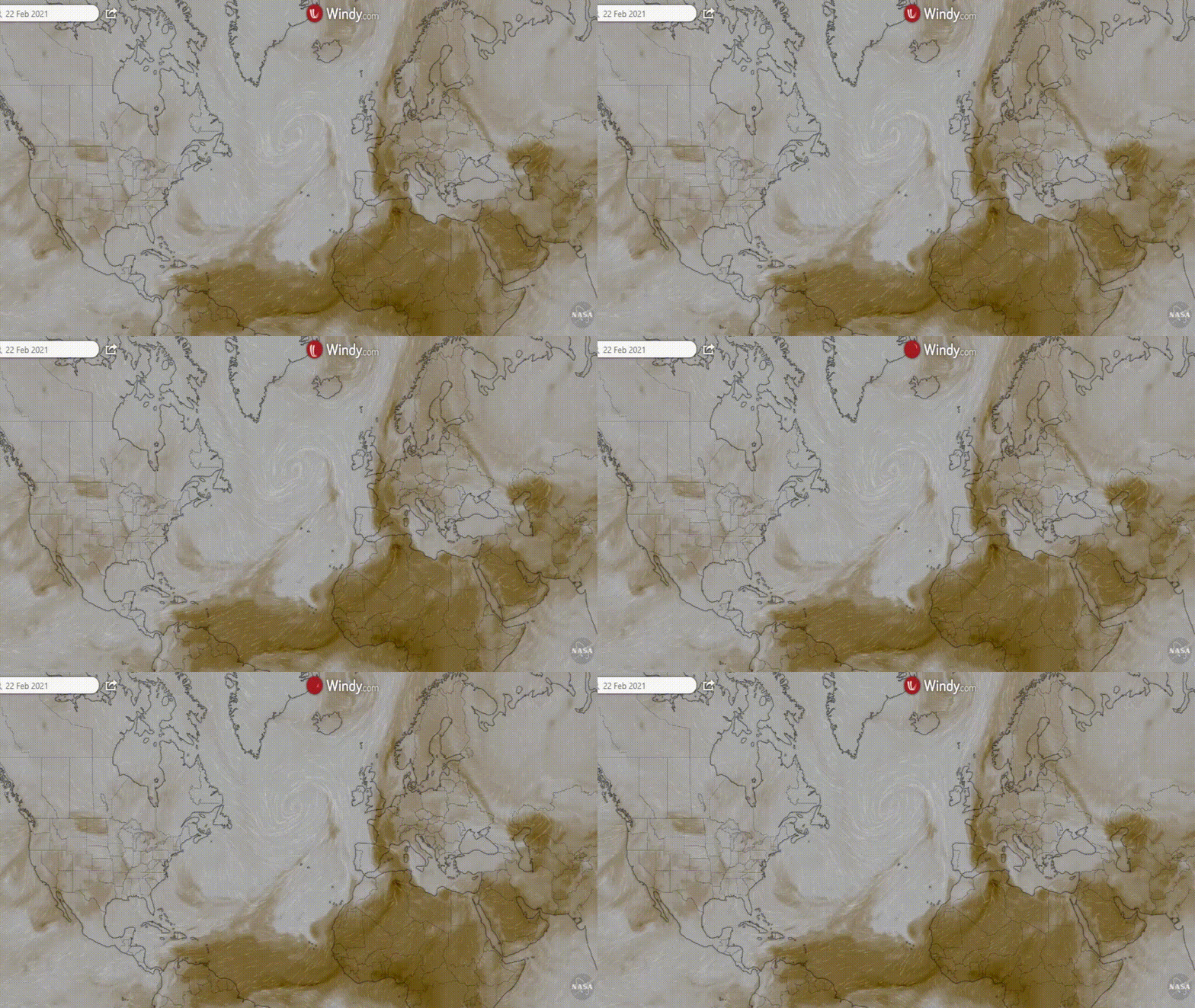
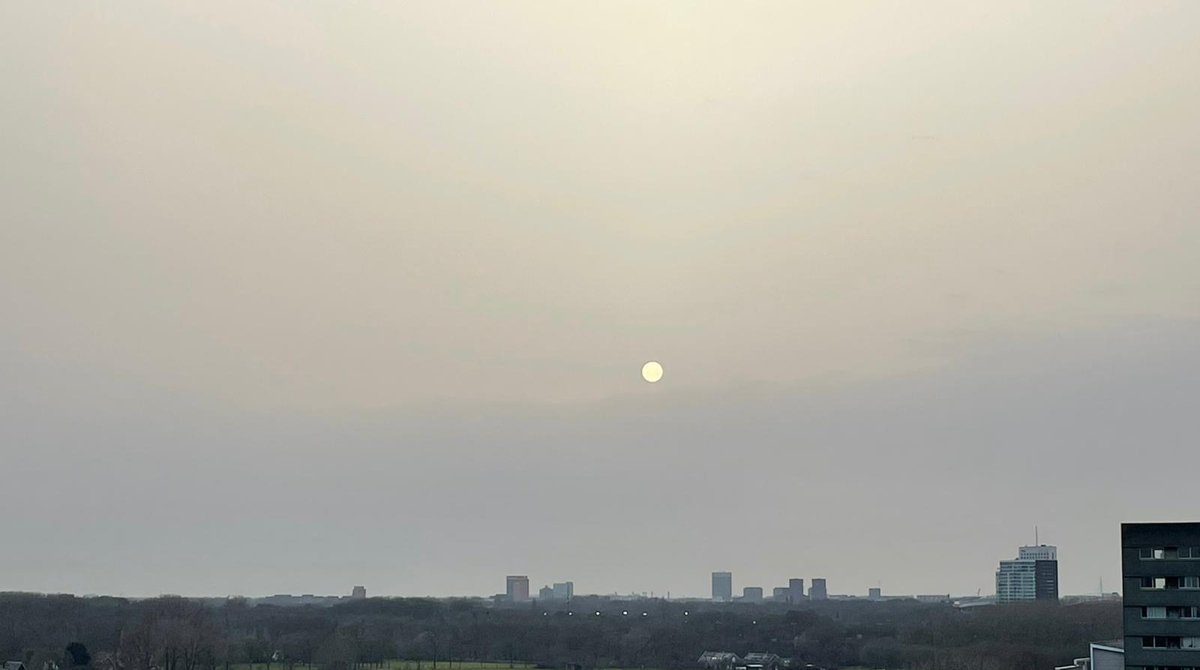
22 Feburary was a particularly hazy day in the Netherlands. This haze was not caused by water vapor but by tiny dust particles originating from the Sahara Desert. The hazy skies can be clearly seen in this photo taken from the 11th floor of a flat in Utrecht by Frank Prins. The spectacular event was also covered by the Dutch national news channel NOS.
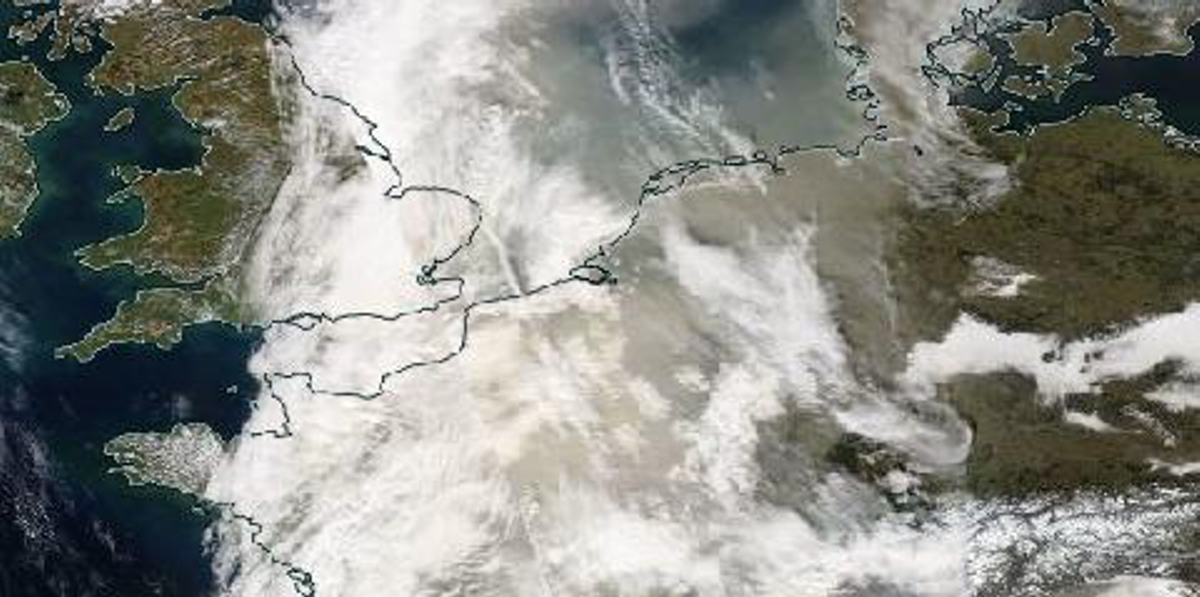
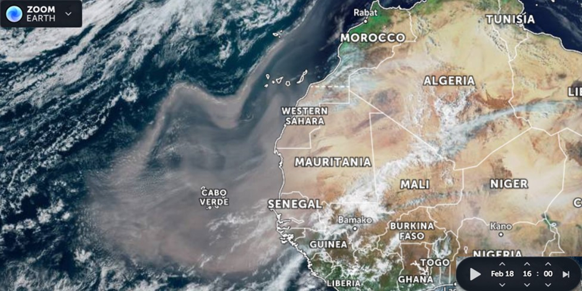
We are used to dusty skies during our expeditions off the northwest African coast, where most of the dust is blown westward with the Trade winds. Here you see a dust outbreak that occurred on 18 February; only a few days before the dust outbreak that went north.
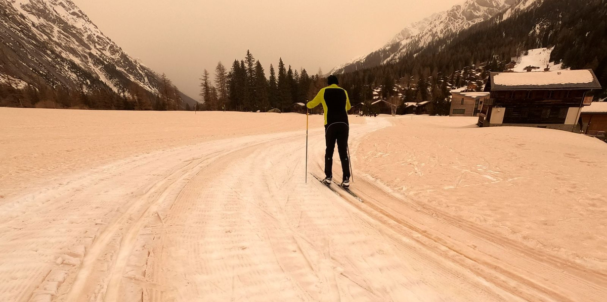
Two weeks ago, southerly winds brought Saharan dust to Europe and deposited it with snow on the European Alps. This image (credits AP) shows a ski track in Switzerland on 9 February 2021.
The source-to-sink distance is very large (Algeria - Netherlands: >2,500km) and therefore, the dust particles are very fine grained. As a result, they can virtually only come down from the atmosphere with precipitation such as snow or rain. Everyone has probably seen traces of dust on cars and other smooth surfaces once. This dust was washed down with rain.
Since no rain is to be expected during the next few days, chances are good that the dust we are seeing now will stay suspended in the atmosphere and get deposited further downwind.
For more information, see a paper we published in 2009: Aeolian dust in Europe: African sources and European deposits. Quaternary International 198, 234-245, by Jan-Berend W. Stuut, Ian Smalley and Ken O'Hara-Dhand.