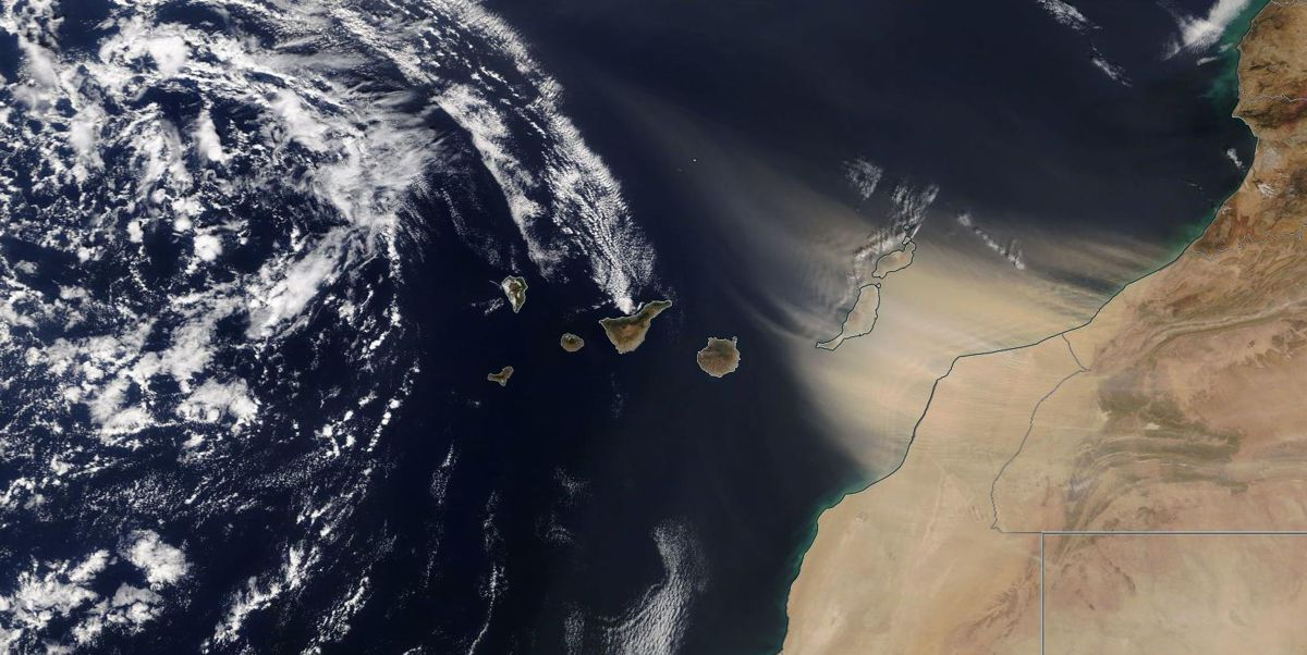
On this satellite image, taken by NASA's Terra satellite in the morning of 22 February 2020, one can clearly discern the dust cloud that is engulfing the islands of Fuerteventura and Lanzarote. [Image copyright NASA]
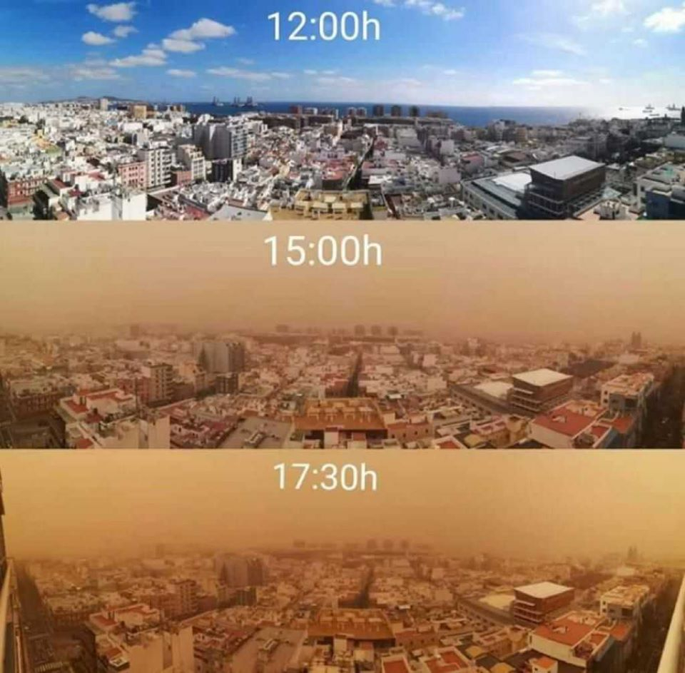
Visibility is severely hampered by the huge concentrations of dust particles, leading to disruption of daily life such as canceled flights. [image from www.severe-weather.eu]
At the Izana station on Tenerife, particle concentrations as high as 3500 µg/m³ were measured.
For reference; the WHO advises against long-term (>8 hrs) exposure to dust concentrations higher than 3000µg/m³.
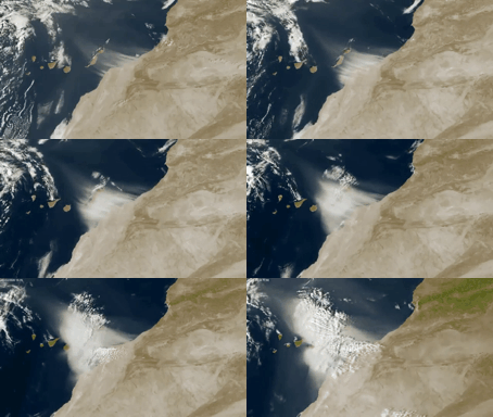
This animation beautifully shows the development of the Calima on 22 February 2020.
[image from www.severe-weather.eu @apuntoratge]
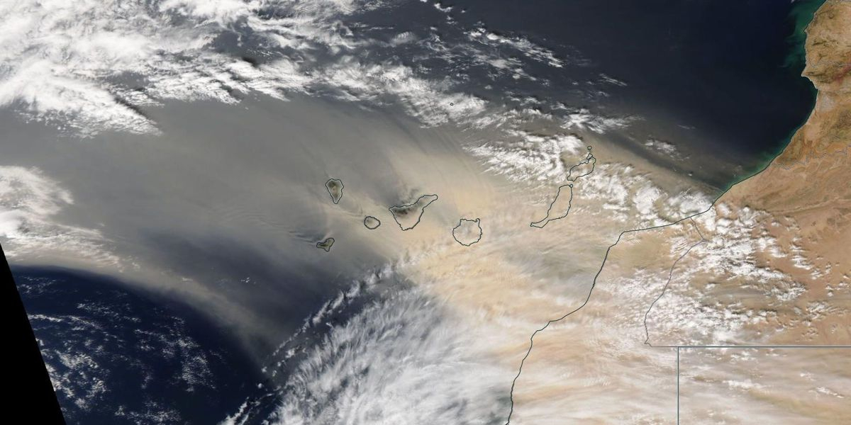
On this satellite image, taken by NASA's Aqua satellite in the afternoon of 23 February 2020, one can clearly see how the dust cloud is progressing westward and has now also reached the islands of Gran Canaria, Tenerife and La Gomera. [Image copyright NASA]
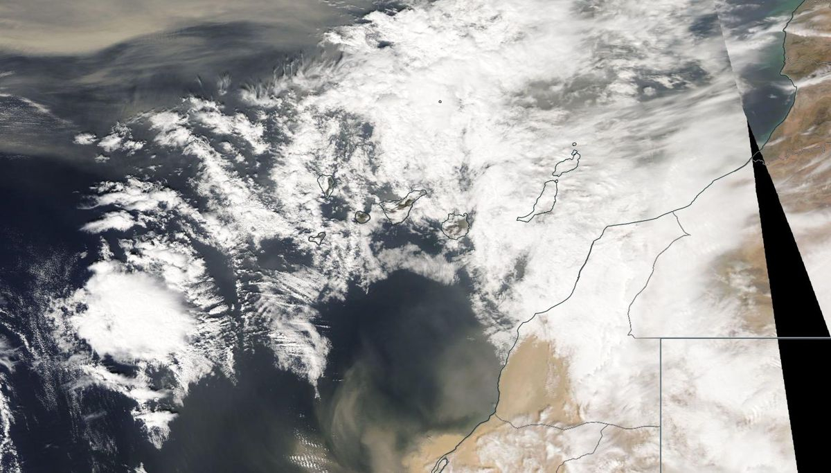
On this satellite image, taken by NASA's Aqua satellite in the afternoon of 24 February 2020, one can clearly see how most of the dust has left the Canary Islands and is travelling towards the Americas. Also, further south along the coast of Western Sahara, a new dust outbreak is developing.... [Image copyright NASA]
Another observation to be made is that clouds form, probably as a result of the dust particles and cooling of the warm winds due to the relatively cold ocean. The dust particles act as cloud condensation nuclei. We think that atmospheric chemical processes during the formation of clouds could help leach off the metals and nutrients from the dust particles, increasing their bio-availability.