Model domain
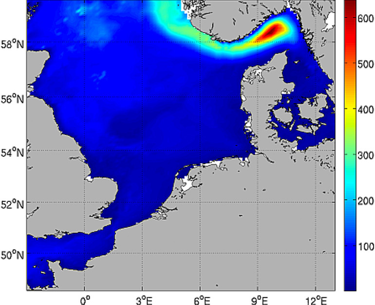
North Sea
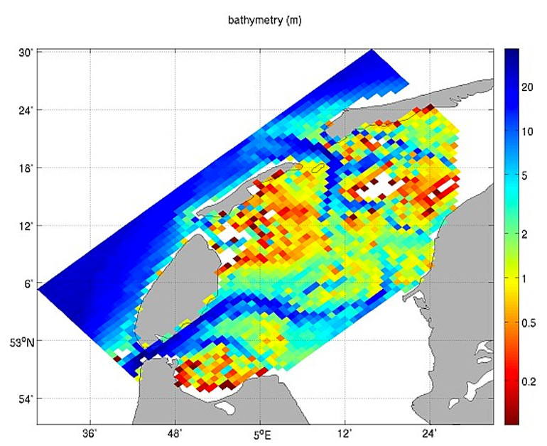
The setup for this model application (pictures above) is the North Sea and Channel area (domain 5.8oW to 18.0oE, 48.4oN to 60.3oN), on a spherical grid with approximately 10 kilometer resolution, with 25 sigma layers in the vertical. See below a map of theNorth Sea domain and a detailed map of the model showing the size of the 10x10 km grid cells grid along the Dutch coast.
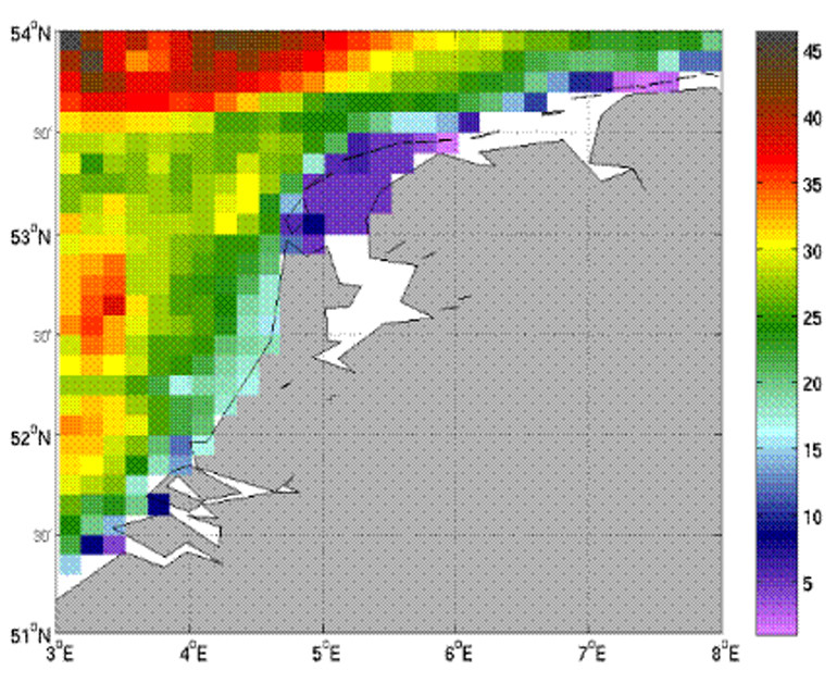
Western Wadden Sea
The setup for this model application (picture above) is the Western Wadden Sea area (domain 5.8oW to 18.0oE, 48.4oN to 60.3oN), on a rectangular grid with1 kilometer resolution, with 5 sigma layers in the vertical. The choice for this first set-up where the boundaries are near the main channels of the Western Wadden Sea was made to minimize the execution time of the model. Also limiting the vertical resolution to 5 layers was done for the same reason.