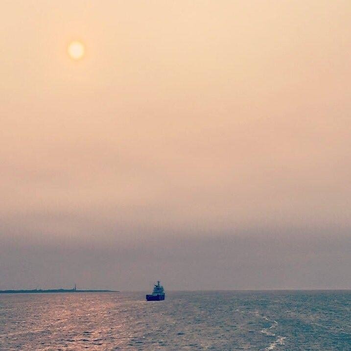
Cyclone Ophelia that hit Ireland on Monday 16 October also caused large parts of northern Europe to witness dusty (and smokey) skies.
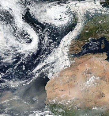
On the satellite picture above, taken by NASA on 16 October, one can clearly see a huge tail of north-south oriented clouds across southwestern Europe, which are drawn into cyclone Ophelia. On 16 October, the cyclone's eye is located on the western coastline of Ireland.
On this satellite picture, one can also clearly see a huge cloud of dust that is blown from Africa across the equatorial Atlantic. Some of this dust is probably also sucked north into the cyclone. In addition, in Portugal there were a number of wildfires of which the soot and smoke particles were also drawn into the cyclone.
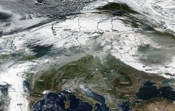
On the satellite image below, taken by NASA on 17 October, one can clearly see how clouds over northern Europe are coloured brown/orange-ish by soot, smoke, and dust.

